


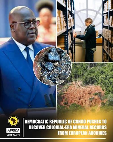

DRC launches $180 million mineral mapping drive with US, France to wrest control of geological data from foreign hands
The Democratic Republic of Congo is spending $180 million to map its vast and largely unexplored territory as Kinshasa seeks greater control over the geological information that could determine where billions of dollars in future mining investment flows, according to Raoul Wazenga Vitima, director general of the National Geological Survey of Congo.
The project brings together Congolese authorities with partners from the US, France and South Africa, including KoBold Metals, France’s BRGM and the Council for Geoscience. The nationwide programme, which began in January through a contract with Spain-based geodata company Xcalibur, will use airborne surveys, digitised historical records and advanced analytics to map more than 700,000 square kilometres of the country.
“The data generated under these programmes constitute a strategic asset of the Congolese state,” Vitima told Reuters.
The initiative is part of a broader effort to build a national geological databank expected to be fully operational by the end of 2026. For the DRC, the project represents a significant shift in how the country manages its mineral wealth. Rather than allowing geological information to remain largely in the hands of foreign companies or institutions, Kinshasa plans to treat the data itself as a strategic national asset.
The push comes decades after Belgian authorities and mining companies conducted extensive geological surveys across the territory during the colonial era. Much of that information remains outside the DRC, including millions of pages of maps, field notes and geological records stored at Belgium’s AfricaMuseum in Tervuren. The archive occupies nearly 500 metres of shelving and contains records from decades of exploration before Congo gained independence in 1960. The museum has committed to digitising the material and ultimately making it publicly available.
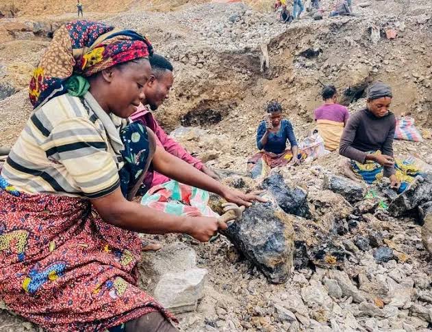
Only about 20 per cent of the DRC has been systematically explored, despite the country holding the world’s largest cobalt reserves and major deposits of copper, lithium, tantalum and gold. Exploration spending reached $130.7 million in 2024, the highest level in Africa, but activity remains heavily concentrated in the copper-cobalt belt of Lualaba and Haut-Katanga.
The new database will operate under a tiered-access model. Basic geological information will be available free, while more sensitive datasets will be sold, with access assessed partly against the country’s “strategic interests.” The policy could give Kinshasa greater influence over which deposits are explored, which companies receive access to geological intelligence and how future mining projects are negotiated.
“Control of geological data is increasingly becoming a strategic policy tool,” said Mark Jessell, a geology and geophysics expert at the University of Western Australia. “It affects not only what a country mines today, but what it may discover and develop tomorrow.”
The move also comes as the US and China compete for greater access to Congo’s critical minerals. The government says its database will apply the same access rules to investors regardless of nationality, as it seeks to diversify its mining partners while retaining control over the country’s mineral intelligence.
Beyond Xcalibur, the DRC is working with France’s BRGM, South Africa’s Council for Geoscience, US-based KoBold Metals and other institutions on geological mapping and data projects. Congo has already demonstrated its ability to influence global mineral markets through its intervention in cobalt, where a 2025 export ban followed by quotas helped push the market from surplus into deficit and contributed to a sharp increase in prices. Now, Kinshasa is attempting to exert influence much earlier in the mining cycle — by controlling the information that determines where the next copper, cobalt, lithium or other critical-mineral discoveries are made.